Tropical Storm Shanshan Soaks Japan, Raising Flood and Landslide Risks
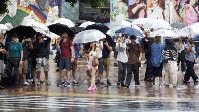
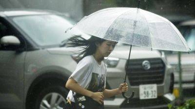
The authorities in Japan braced for the risk of landslides and floods on Friday as Tropical Storm Shanshan slowly advanced inland, after drenching parts of the country with record rainfall over three days.
Forecasters predicted heavy rain for several more days from the storm, which made landfall on Thursday as the strongest typhoon to hit Japan this year. It packed maximum sustained winds of 46 miles per hour on Friday, according to the U.S. Navy’s Joint Typhoon Warning Center, which downgraded Shanshan to a tropical storm on Thursday.
The weakened storm shifted eastward early Friday, raising landslide and flood risks in more parts of the country. The Japan Meteorological Agency on Friday issued flood and landslide warnings in two dozen prefectures, including Tokyo and some as far as Iwate, in the northeast.
Many parts of Japan were expected to receive an additional 6 inches of rain on Friday, forecasters said. Shanshan’s slow pace of about 2 m.p.h. has meant that a given area could receive heavy rain for days.
The storm was expected to lose strength as it moved northeast toward Osaka, roughly in the center of Japan, before dissipating into a tropical depression over the weekend.
Shanshan has brought nearly three feet of rain to parts of Kyushu, the southernmost of Japan’s main islands. The city of Odawara, southwest of Tokyo, received about a foot of rain on Thursday, nearly double the average for the entire month of August, meteorologists said.
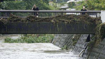
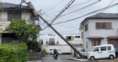
A landslide buried a home southwest of Tokyo on Tuesday, and streets and farmland were flooded in many parts of Japan. Strong winds from the storm brought down trees in Tokyo and in parts of Kyushu, where some buildings were badly damaged.
The storm has left at least four people


