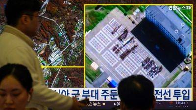
Satellite images show North Korea dug large border trenches after demolishing road, rail links
SEOUL, South Korea (AP) — Commercial satellite images reveal that North Korea has carved at least two large trenches across roads and rail lines on its heavily armed border with South Korea since it blew up the northern sections of cross-border routes earlier this month.
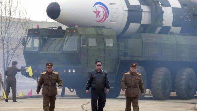
Tensions between the Koreas are at their highest point in years as North Korean leader Kim Jong Un has repeatedly showcased his expanding nuclear weapons and missile programs, while reportedly providing Russia with munitions and troops to support President Vladimir Putin’s war in Ukraine. Kim has vowed to sever relations and abandon the long-standing goal of reconciliation with South Korea, whose conservative government has taken a hard line on the North’s nuclear ambitions.
Satellite images taken Wednesday by Planet Labs PBC showed a trench cut across a road and a rail line running through the western part of the Demilitarized Zone between the Koreas.
Work on the trenches appears to have begun shortly after North Korea staged choreographed demolitions of a road near Kaesong, a western North Korean border city, and a combined road and rail section near the Koreas’ eastern border on Oct. 15. In Planet Labs images examined by the Associated Press, the first sign of the trenches appeared on Oct. 17, after cloud cover blocked the view for the four previous days.
The western trench is 1.7 kilometers (1 mile) west of Dorasan Station, the last station on the line on the South Korean side that used to run to a now-shuttered factory complex in Kaesong. The factories, which symbolized a past era of rapprochement between the rivals, were jointly run by the Koreas until Seoul shut it down in 2016 over a North Korean nuclear test.
Some vehicles could be seen at the


