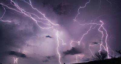
Nepal rolls out AI-powered ‘crystal ball’ to predict deadly landslides
SAFE-RISCCS, short for the Spatiotemporal Analytics, Forecasting and Estimation of Risks from Climate Change Systems, is being rolled out in two regions of Nepal known for their susceptibility to devastating landslides.
The system “works like a crystal ball and fortune-teller except on steroids”, according to Antoinette Tordesillas, a professor at the University of Melbourne who is leading the project alongside scientists from the University of Florence in Italy and Nepal’s Tribhuvan University. “It is an AI tool that can forecast the risk of a landslide at a given location and future time.”
Nepal’s mountainous terrain, precarious slopes, and seismic vulnerabilities converge to make it a global hotspot for landslides, resulting in one of the world’s highest per capita death tolls from these disasters, which are commonly triggered by monsoon rainfall.
The Himalayan nation recorded 2,419 landslides between 2018 and last year, claiming 805 lives – more than any other natural hazards over those five years, according to government data, surpassing both fire and lightning.
Meteorologists have forecast heavier-than-average rains for this year’s monsoon season, which usually lasts from June to September in Nepal, increasing the risk of landslides.
SAFE-RISCCS uses satellite images of Earth and a new open-access AI tool developed at the University of Melbourne to analyse and monitor rainfall data and ground motion patterns in order to forecast landslide risks.
“The key is to leverage freely accessible space satellite data on rainfall and ground motion since these can deliver measurements on ground conditions without the need for site access,” she said.
Nepal has made progress with advanced warnings for floods, which helped mitigate loss
Related News